
Eyes on Earth Episode 120 – Mapping the California Coastline
- Source
- usgs.gov
- Published
- Jul 15, 2024
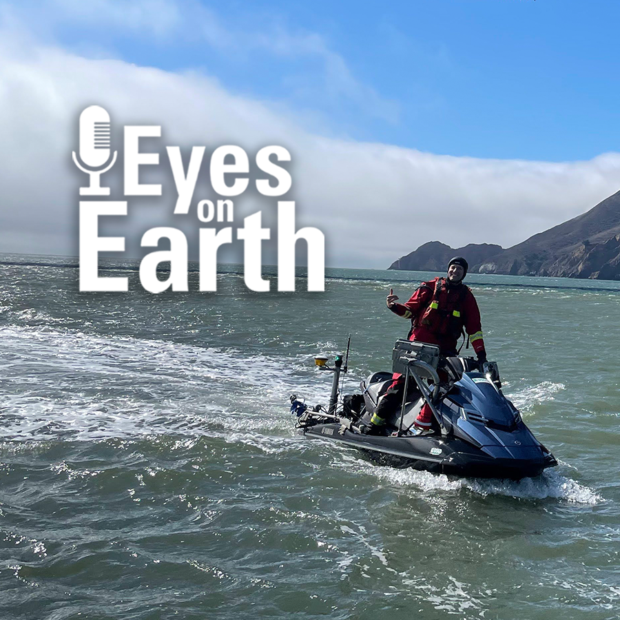
In this episode of Eyes on Earth, we begin a series on Landsat’s usefulness in coastal studies. First, we talk with Sean Vitousek, a USGS research oceanographer, about changes to beaches in California and how he is using Landsat and other data to create models that can predict how the coastline may change in the future because of sea level rise and coastal erosion. Landsat’s global reach stretches back decades—that, along with its free availability, can help in planning for the prevention and adaptation to future hazards along the coast. See how Landsat complements other data and ground truth studies, and how machine learning plays a part in this study as well.
Eyes on Earth
Eyes on Earth Episode 120 – Mapping the California Coastline
0:000:00
Info
- Published
- Jul 15, 2024
- Uploaded
- Jun 24, 2026
- Uploaded by
Trevor McFedries
- Queried
- 0 times
Appears in

More
Use with your agent
Have your agent query this content directly
Download package
Unlocks the raw transcripts and files to use as you please
Discover playbooks
Create a repeatable workflow using this source